London Maps, County, UK
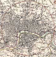
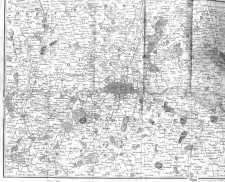
Map of the Environs of London
Published 1832.
London - Published 1819
Plan of the Royal Palace of Whitehall, [1680]
Plan of the Houses of Parliament
House of Commons, 1843, 320K
House of Lords, 1843, 320K
Royal Albert Dock Extension (New Dock) 1921 West East
London Road Map, 1926 (Detail, Central)
London Road Map, 1926 (Detail, North Central)
London Road Map, 1926 (Detail, South Central)
Cycling Map of London (Detail, North) 2MB
Cycling Map of London (Detail, South) 2MB
Map of Sydney, Australia, 1833
Map of the Environs of Sydney, Australia, 1833
Map of New South Wales,[Eastern] Australia, 1833 1.2MB
Map of New South Wales,[Western] Australia, 1833 800K
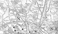
Map of the Vicinity of London, 1897, (500K)
Map of Middlesex, (early 19th c.)
Fire in Bishopsgate Street, 1765
Wren's Plan for rebuilding London
Map of Guildford Town, early 19th c.
Ward/Parish Maps
Baynards Castle Ward & Faringdon Ward Within
Billingsgate & Bridge Ward within
St. Olave and St. Thomas Southwark
Boundary Commission Maps, 1885.
London Borough Maps
Battersea & Clapham [Northern section]
Battersea & Clapham [Southern section]
St. Pancras [Northern section]
St. Pancras [Southern section]
Poplar [Southern section, including London Docks]
Tower Hamlets [Eastern section]
Tower Hamlets [Western section]


